Map and Directions
.
Rawabi’s strategic location offers convenient access to all major cities in the country. The city is located 9 km north of Ramallah, 3.5 km north of Birzeit (home to one of Palestine’s leading universities), 25 km north of Jerusalem and 25 km south of Nablus. Nine Palestinian villages lie directly adjacent to the city.
From Rawabi’s hilltops, the city has a panoramic view of the Mediterranean's eastern coastline, 40 km to the city's west. The Jordanian capital, Amman, is 70km to the east. Integrated transport links connect Rawabi to villages and cities across Palestine.
From Ramallah
- From Manara Square, head north on Irsal Street for 3 km.
- Continue north through the villages of Surda, Abu Qash and past Birzeit University. Pass through the town of Birzeit, bearing left at the city center towards Atara.
- Before the Atara checkpoint, turn left immediately and proceed to the junction of Route 465.
- Take a left onto Route 465 and proceed to the first roundabout.
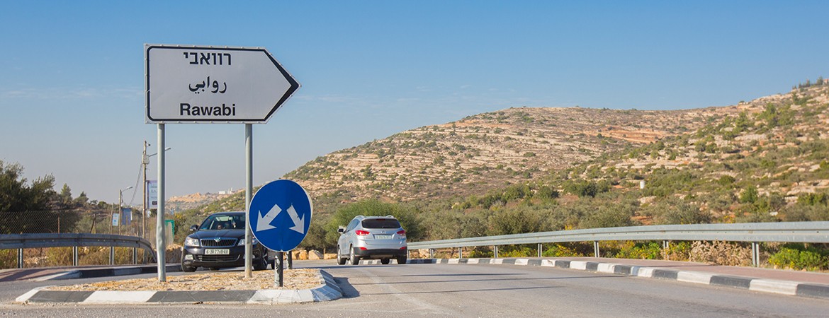
- At the roundabout, bear right at the first exit onto the roundabout road, and proceed 3 km to the city of Rawabi.
From Jerusalem (Damascus Gate area)
- Proceed north on Route 1 towards Pisgat Ze’ev and Neve Ya’akov for approximately 6 km.
- At the second Pisgat Ze’ev exit, turn right at the top of the exit ramp and proceed to the Hizma checkpoint.
- Once past the Hizmah checkpoint, bear left at the traffic circle and proceed to the Jaba’a junction (approximately 6 km).
- At the Jaba’a junction, turn right onto Highway 60 towards Nablus.
- Continue on Route 60 to the Eyoon Al Harameheh junction of Route 465 and Route 60. Take a left onto Route 465.
- Continue on Route 465 for approximately 7 km. Once passing under the Atara Bridge, proceed straight ahead to the Rawabi roundabout.
- Take the first exit on the roundabout to the Rawabi road.
- Proceed 3 km to the city of Rawabi.
From Nablus and northern West Bank cities
- From the vicinity of the Huwara junction on Route 60, proceed south to the Za’atara checkpoint.
- Continue south on Route 60 to the intersection of Route 465; make a right onto Route 465.
- Continue on Route 465 for approximately 7 km. Once passing under the Atara Bridge, proceed straight ahead to the Rawabi roundabout.
- Take the first exit on the roundabout to the Rawabi road.
- Proceed 3 km to the city of Rawabi.
From Tel Aviv-Yaffa
- Take the Ayalon Highway (Road 1) South towards Jerusalem.
- After Ben Gurion Airport, take Route 443 towards Modi’in.
- At Modi’in, turn left onto Route 446. Proceed to the Modi’in Il’it checkpoint and pass through.
- Continue approximately 8 km to the intersection of Routes 446 and 465. Take a right onto Route 465 towards Halamish and Ateret.
- Follow Route 465 for 10 km until you reach the Rawabi roundabout. You will take the 2nd exit off the roundabout to follow the Rawabi road.
- Proceed 3 km to the city of Rawabi.